What it does
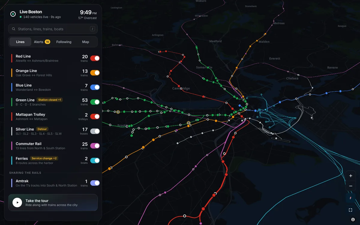
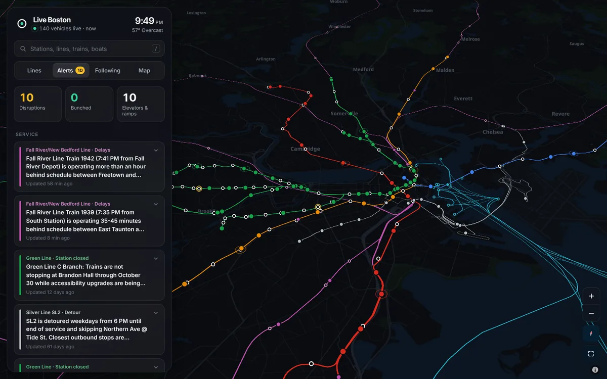
Live Boston is a live 3D map of Boston’s transit: every subway train, commuter rail train, Silver Line bus, ferry and nearby Amtrak train, drawn where it actually is right now. It gives door-to-door directions from wherever you are, shows what’s disrupting service, finds anything by name or number, and counts down to when you need to leave for your own commute.
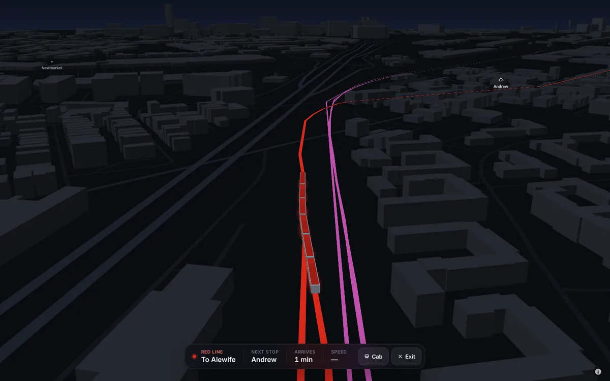
- A live 3D map of Boston transit in the browser: every subway train, commuter rail train, Silver Line bus and harbor ferry, plus the Amtrak trains that share the MBTA’s tracks. Up close each train is a three.js model with the real number of cars the MBTA reports and true car dimensions, drawn in a MapLibre custom layer over a custom vector basemap; zoomed out, each one is a crisp dot in its line’s color.
- Built to be accurate, not just animated. Every position report is snapped onto the exact shape its trip runs, moved forward by how old the report is, then coasted at its measured speed, never past the stop it’s heading to. The drawn train follows that estimate under each line’s real top speed and a service-braking curve, so it eases into stations instead of jumping between reports. Amtrak’s positions are matched to the commuter rail tracks it runs on.
- An Alerts tab turns the MBTA’s service alerts into something you can see: suspended stretches and closed stations go amber on the map, outside causes like freight trains, drawbridges and Amtrak traffic are called out, and trains running bunched up are detected from their live positions. One search box finds any station, line, train number, ferry or Bluebikes dock.
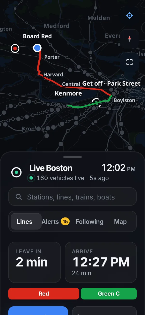
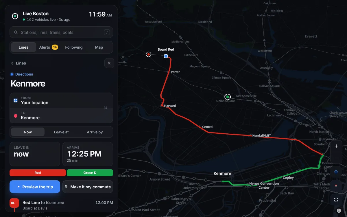
- Where to? gives door-to-door directions from your GPS position to any station, address or spot on the map, planned entirely in the browser. A round-based search (RAPTOR) runs over the MBTA’s own trip patterns to find the fastest ways and ones with fewer changes, then times each leg with live predictions or the timetable, chaining one train’s arrival into the next connection. Ferries and commuter rail are tried as if one were about to leave and kept only if the real times agree, and you can plan ahead to leave at or arrive by any time.
- The trip is drawn on the map along real walking paths (from OpenStreetMap’s Valhalla router) and real track, while every other line and train fades to grey. Only the trains you’d catch keep their color, and each step says where your train is right now, with a button to watch it come. A preview flies the camera along the whole route in 3D. Save a trip as your commute and the top of the sidebar counts down to when to leave from wherever you are, then turns around for the way home when you get there.
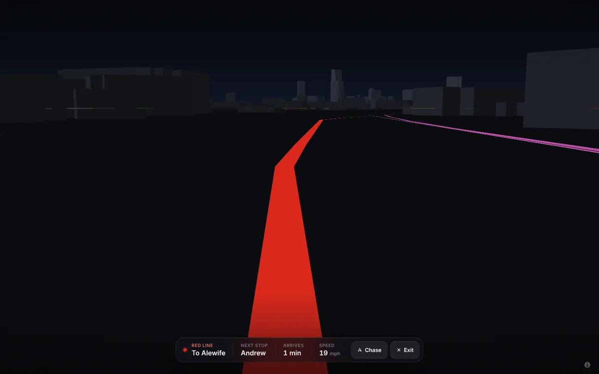
- You can ride along behind any train or switch to the view from the cab, and the city’s sky and light follow the real sun and weather. It’s a static site with no backend, installable as an app on a phone.
What I'm proudest of
I use it to plan my commute. I type where I’m going and it shows me the whole trip, from my front door to theirs, with the train I need already moving toward me on the map. It even found me a ferry I didn’t know ran from the Seaport to North Station. And watching the whole system move across the city in 3D still hasn’t gotten old.
Screenshots